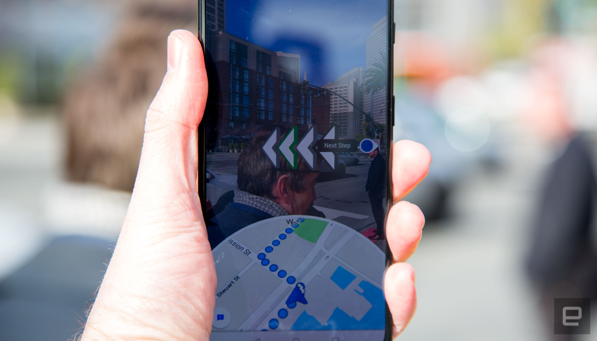
Google is constantly improving on Google Maps to ensure that it’s accurate and multi-functional for its users, and now the company plans on integrating AR into the app for better navigation.
While it’s still in its pilot program, Google Maps is now using an AR system that the company calls “global localization”. This feature is made for on-foot navigation where it shows precise navigation by identifying your location and surroundings. This is definitely more accurate compared to the current blue dot that does not necessarily define your exact, precise location.
The AR system combines Visual Positioning Service, Google’s Street View and machine learning to locate your position when you scan your surroundings, leading to a more precise navigation. The system also ensure it identifies the right surroundings by determining where you are by the buildings around you instead of temporary things like trees and vehicles that can be easily removed.
That aside, Google Maps will not require its user to constantly hold up their phones while they navigate their way for safety reasons. Instead, it will advise users to put their phones down, and only pick it back up for reorientation if you’re unsure of where you’re heading again.
Currently, only select local guides will get to test this “global localization” feature so that they can provide feedback to Google to further improve on the feature, so don’t expect your iOS or Android device to be getting this feature yet. I do hope this feature come soon because it’ll be a great help especially to people who have no sense of directions.


